

SVAMITVA Scheme is a Central Sector scheme launched by Hon’ble Prime Minister of India on National Panchayat Day, 24th April 2020. This Scheeme will implement by The Ministry of Panchayati Raj (MoPR) is the Nodal Ministry and In the States, the Revenue Department or Land Records Department will be the Nodal Department and they will carry out the scheme with support of State Panchayati Raj Department. Survey of India shall work as the technology partner for implementation.

OBJECTIVE OF THE SCHEME :-
The scheme Objective to provide an integrated property validation solution for rural India. The demarcation of rural abadi areas would be done using Drone Surveying technology. This would provide the ‘record of rights’ to village household owners possessing houses in inhabited rural areas in villages which, in turn, would enable them to use their property as a financial Asset for taking Borrowings / loans and other financial benefits from Bank and Financial Institutions.

1. To bring out financial stability to the citizens in rural India by enabling them to use their property as a financial asset for taking loans from Bank and Financial Institutions and other financial benefits.
2. Creation of accurate land records for rural planning.
3. Determine of property tax, which would accrue to the GPs directly in States where it is devolved or else, add to the State exchequer.
4. Creation of survey infrastructure and GIS maps that can be leveraged by any department for their usage.
5. To support or help in preparation of better-quality Gram Panchayat Development Plan by making use of GIS maps.
6. To reduce property related disputes and legal cases.

GUIDELINES & REPORTS :-
A survey of the scale & scope undertaken for rural India with the SVAMITVA Scheme. The Government has formulated a framework & detailed set of guidelines in Hindi & English to enable successful completion of the ambitious aims of the scheme.
The latest Drone technology & Continuously Operating Reference Station (CORS) Technology are being used to capture images & provide legal rights of the property to the household owner. To share updates about the Scheme's progress, the Scheme portal lists various reports such as:
- * Property Card Distributed
- * Final Maps Generated
- * Data Processing Completed
- * Chunna marking Completed
- * Property Card Prepared
- * Enquiry Process Completed
- * Drone Survey Completed


PILOT PROJECT SURVYED STATES :-
1. Haryana
2. Karnataka
3. Madhya Pradesh
4. Maharashtra
5. Uttar Pradesh
6. Uttarakhand.
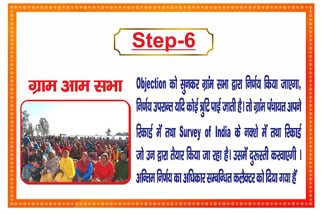
PROJECT IMPLEMENETATION PRODURE WILL BE :-


No comments:
Post a Comment